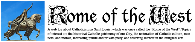
ON NEW YEAR'S EVE, I participated in a special night hike at the Columbia Bottom Conservation Area, managed by the Missouri Department of Conservation. Our destination was the confluence of the Missouri and Mississippi Rivers.
It was a dark, moonless night, but overcast skies reflected distant artificial lighting, making photography possible. But I could not use a tripod, since I had to keep up with the other hikers, and so these images are severely underexposed and rough.
From the hum of the Diesel-powered tugboats on the nearby rivers, to the dull whine of jets coming in for landing at Lambert Field, we knew that we were close to civilization. But adjacent to more than 4000 acres of forest and fields, and we were also undoubtedly in wilderness, as the howling packs of coyotes did remind us.
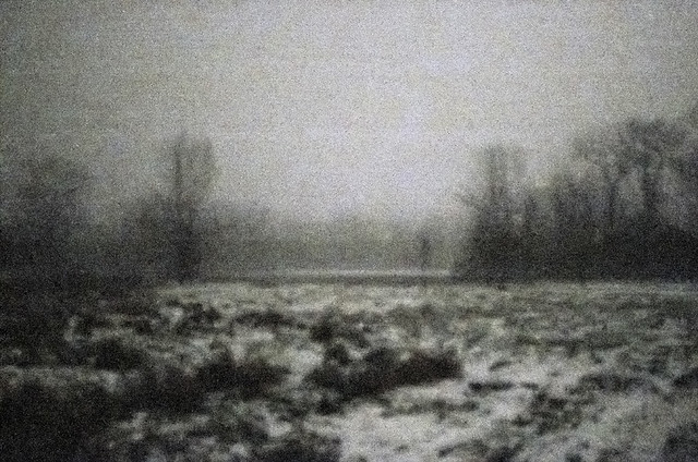
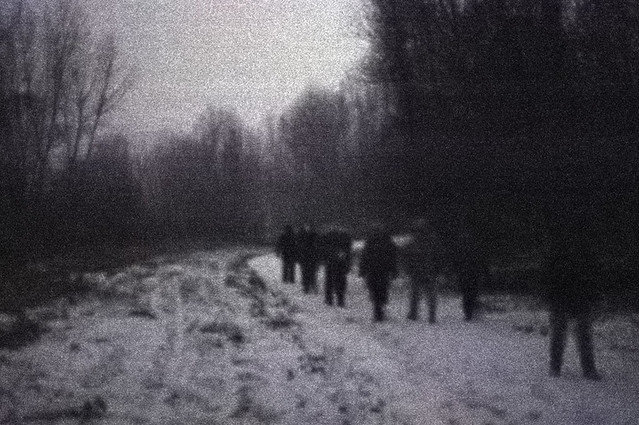
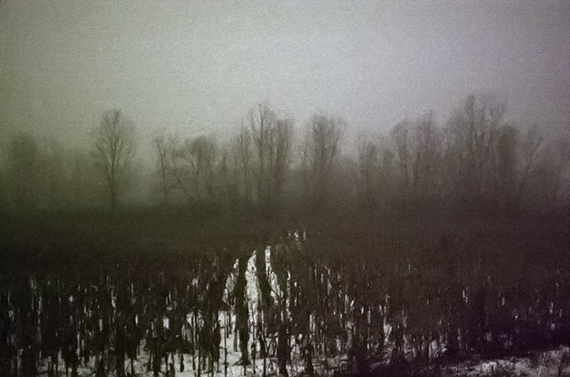
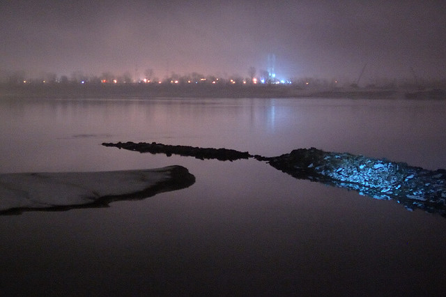
An impressionistic view of bare trees in the fog and fields covered with snow.
Broad daylight is about 2 million times brighter than what we see here. All the camera can capture with a reasonably short exposure time is not that much unlike what is seen by the eye: vague detail, uncertain color. Were this not flat bottomland with paved trails, traveling like this in the dark would likely be dangerous, for footing is always uncertain.
In the natural order of things, hiking at night can lead to a sense of humility when a person recognizes their limitations, and it can also lead to the virtue of courage, as a person pushes himself onward despite not being able to see the way clearly, despite the dangers found in the darkness. Admittedly, this night was not particularly frightful at all for most of us, but perhaps it is good training.
In the spiritual order, it seems that all major religions and philosophies — including Christianity — recognize that light is a natural symbol of truth, understanding, purity, and ultimate reality. Christ describes himself and his disciples as the light of the world. And so, darkness is a symbol of ignorance, sin, and death. We find this in the 12th century Aberdeen Bestiary, where it describes the symbolism of the owl: “In a mystic sense, the night-owl signifies Christ. Christ loves the darkness of night because he does not want sinners — who are represented by darkness — to die but to be converted and live.”
The state leases the land to farmers; the farmers, in exchange, leave behind a tenth of the crop for the feeding of wildlife. The land here is exceptionally fertile, but flooding is always a frequent risk. The idea of leaving food for wildlife is now common and unremarkable, but the older Biblical command to allow gleaning by humans (which was also the law in England until 1788) is now unthinkable.
Some of this land was once owned by Jacques Marcelin Ceran de Hault de Lassus de St. Vrain (1770-1818), a former French naval commander, who fled the Revolution for the relative safety of the Spanish colonies here in North America. He and his family settled in the Spanish Lake area, located on the uplands overlooking these river valleys, and he served in the king's navy by patrolling the rivers.
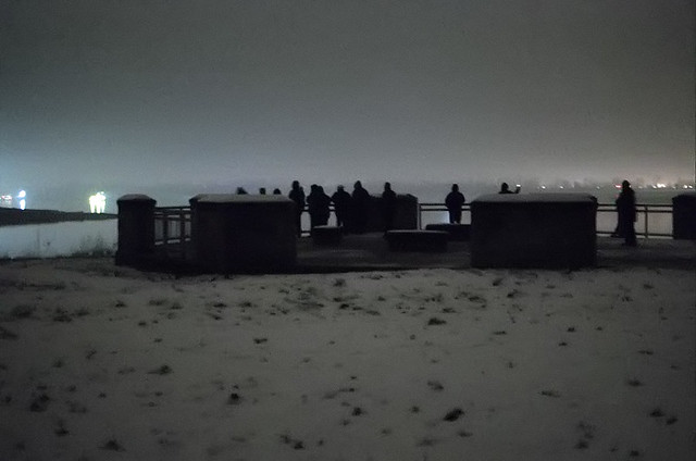
Hikers arrive at the destination, a monument to the Lewis and Clark Corps of Discovery, which includes interpretive descriptions of these great rivers.
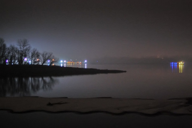
Water levels are extremely low, and the normally swift current of the Missouri, seen in the foreground in front of the point of land, appears placid. The Mississippi River, seen behind the point, continues downstream to the right.
The first known European explorer of this area, Jacques Marquette, S.J., described this confluence of the rivers in his journals:
“While conversing about these monsters, sailing quietly in clear and calm Water, we heard the noise of a rapid, into which we were about to run. I have seen nothing more dreadful. An accumulation of large and entire trees, branches, and floating islands, was issuing from The mouth of The river pekistanouï, with such impetuosity that we could not without great danger risk passing through it. So great was the agitation that the water was very muddy, and could not become clear.”The monsters he mentioned were paintings on the bluffs upstream from here. The city of Alton's well-known symbol, the Piasa Bird, was inspired by these native paintings.
These days, the U.S. Army Corps of Engineers keeps the stream largely free from floating logs — although these still dangers, and so having a steel-hulled boat on this river is greatly recommended, to avoid being foundered by submerged snags. Very little pleasure boating is done on this stretch of the Missouri. The river is still exceptionally muddy, which gave rise to the saying that the Missouri is “too thick to drink and too thin to plow.” The Mississippi upstream from the confluence remains placid and fairly clear to our present day, and is popular for sailing. Click here for an aerial map of the area.
The tall structure across the river in Illinois is the Lewis and Clark Confluence Tower.
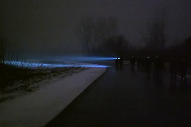
Guide searches for wild animals. We saw many footprints of various creatures in the snow.
Click here for more information on the conservation area.

No comments:
Post a Comment