Pages

Showing posts with label nature. Show all posts

Friday, March 21, 2014

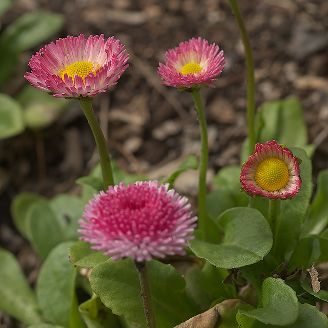
Early Flowers at the Garden

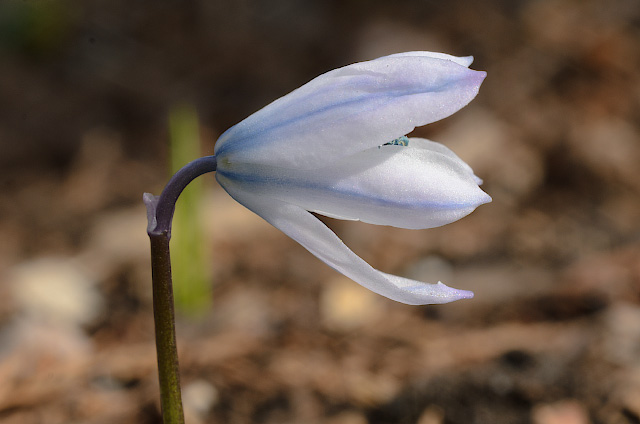
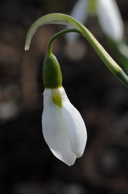
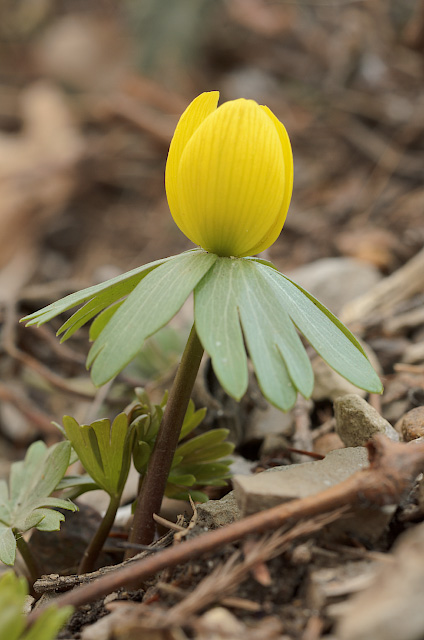
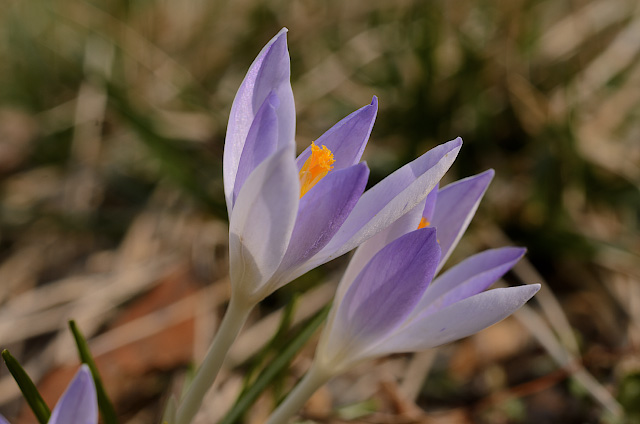
ON THE LAST DAY of winter, I visited the Missouri Botanical Garden, and was surprised by how much was in bloom. After a particularly cold and snowy winter, these signs of spring are welcome.

Missouri Botanical Garden (Shaw's Garden) in Saint Louis, Missouri, USA - purple flower 1

Missouri Botanical Garden (Shaw's Garden) in Saint Louis, Missouri, USA - blue flower 1

Missouri Botanical Garden (Shaw's Garden) in Saint Louis, Missouri, USA - white flower 1

Missouri Botanical Garden (Shaw's Garden) in Saint Louis, Missouri, USA - yellow flower 1

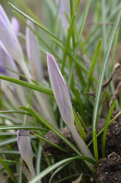
Missouri Botanical Garden (Shaw's Garden) in Saint Louis, Missouri, USA - purple crocus 1

Thursday, January 16, 2014

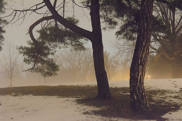
Francis Park, in Saint Louis, Missouri, USA - trees in snow and fog - 8

Snow and fog, in Francis Park, in Saint Louis; taken last Friday.

Tuesday, January 07, 2014

Photos from the Snowstorm of January 5th, 2014

EXCEPTIONALLY COLD weather, along with an unusual amount of snowfall this past Sunday, led to widespread difficulties, but also interesting photo opportunities.


The Cathedral Basilica of Saint Louis in the snowstorm. I took this after Mass for the Epiphany, where very few people assisted — understandably. Fortunately, I have a car which is good in the snow, so I drove around town afterwards taking photos.


Lots of snow for this region.


Saint Louis University, with the spire of Saint Francis Xavier Church barely visible.


Most of the streets were empty, even major thoroughfares such as this one, and the blowing snow obscures the skyscrapers of downtown. Many of the traffic lights were malfunctioning.


There were a number of pedestrians, usually carrying grocery bags, and walking in the middle of the street, where the snow was not quite so deep.


Walking the dog is almost a necessity, no matter how cold — unless you are willing to do a cleanup inside. Very many cars were stuck in the snow, fortunately, there were volunteers helping out.


A view from the Eads Bridge.  One of the pleasures of the day was the ability to safely stop my vehicle in the middle of any street or bridge, and take a few moments to take a photo.


The Gateway Arch, also (barely) seen from the bridge.


The Basilica of Saint Louis, King of France, popularly called the Old Cathedral, is shrouded in scaffolding for its first major renovation in over 50 years. This is being done now partially in honor of the 250th anniversary of the founding of the City of Saint Louis by Pierre Laclede and Auguste Chouteau.


Union Station. Nearly every business and office were closed this day — with the notable exception of grocery stores.


The massive railroad yard, which bisects the middle of the city.


Gates to Lafayette Park.


One of the ornate Victorian-era buildings in the Lafayette Square neighborhood, facing the park.


Geese on the wing in Forest Park.


Some of the geese, after they landed on the water of the restored River des Peres.


Winter is usually a good time for hiking in the forest, for you can see farther and aren't bothered by insects. But this afternoon was becoming increasingly cold and windy, and I must admit that I was miserable at this point. But upon getting back to my warm car, after an exhilarating hike, I was glad that I got out of the house instead of staying home.


In warmer weather, this bridge is a good place to see frogs, turtles, and water lilies.


The Victorian footbridge originally led to a railroad station, and for decades this was difficult to find because of overgrown vegetation. This photo might look a bit different from the others, because I took it with my cell phone, so that I could upload it to a friend who asked me to take a picture of it.


It wasn't quite clear where the road was, but that does not deter brave pedestrians.


The World's Fair Pavilion. The same scene, but under quite different circumstances, can be seen on the cover of my photo book, St. Louis Parks.


Art Hill, located between the Saint Louis Art Museum and the Grand Basin, is famous for sledding.


Thursday, October 24, 2013

A Canoe Trip on the Mingo River

LAST SATURDAY, I went on a canoe trip at the Mingo National Wildlife Refuge, in the southeastern part of the state of Missouri, near the town of Puxico.
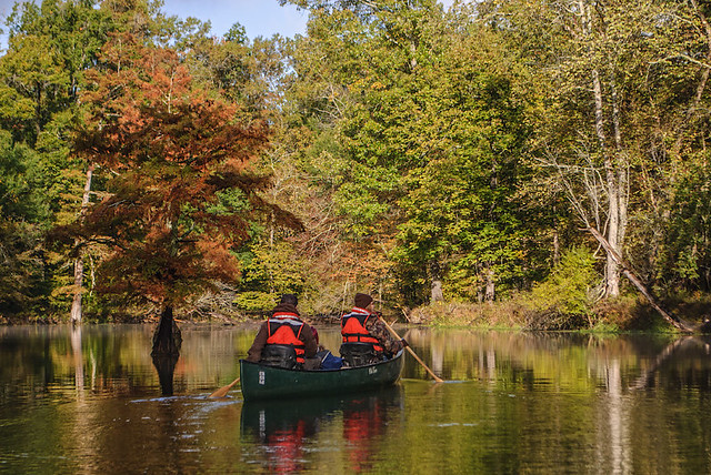
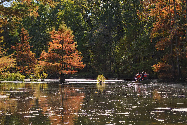
Mingo National Wildlife Refuge, in Puxico, Missouri, USA - canoers

Autumn is perhaps the prettiest time of year in this part of the world, narrowly beating out Spring due to typically dry weather. This was a cold day — not the best for canoeing, due to the risk of capsize — but a beautiful one. The lack of mosquitoes and deadly vipers during this time of year makes a fall visit even more appealing.
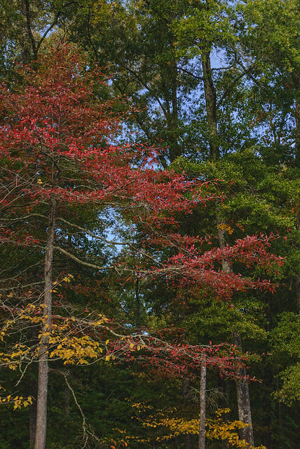
Mingo National Wildlife Refuge, in Puxico, Missouri, USA - fall colors

The Mingo River meanders through the Mingo swamp, which is a small remnant of a formerly much larger swamp that covered the lowlands near the Mississippi River, south of Cape Girardeau, Missouri.

Much of these lowlands were drained and logged a century or more ago, with the land now being used for crops. But flooding is always a concern here; nearly the entirety of nearby Mississippi County is sacrificed as a floodway when the waters get too high.

The land is flat and featureless, with only the nearby Crowley’s Ridge giving relief to the topography of the region. In the forest itself, it is quite easy to get lost, for all directions look the same, and the bends of waterways can trap the casual hiker.
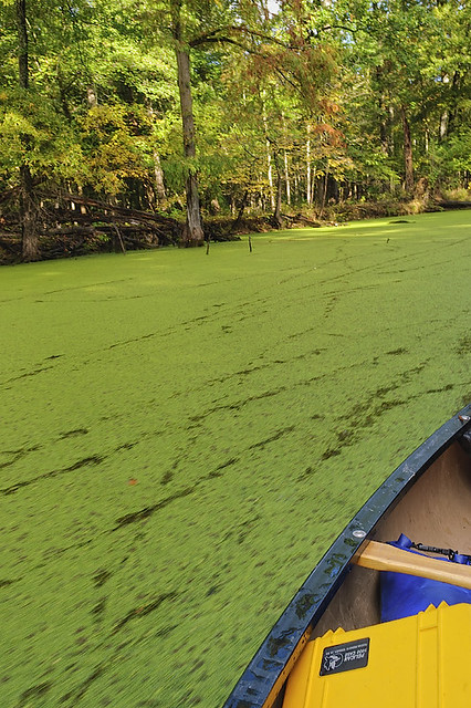
Mingo National Wildlife Refuge, in Puxico, Missouri, USA - green carpet of duckweed

Duckweed, which is perhaps the smallest of all flowering plants, covers a stretch of the gently flowing river. The sound of the canoe pushing through the duckweed is not unlike the sound of a sled in snow.
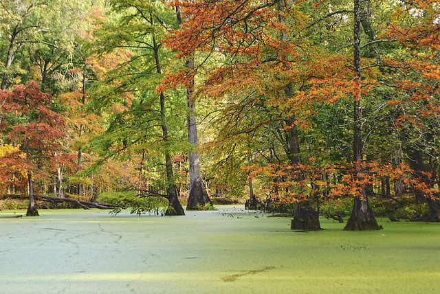
Mingo National Wildlife Refuge, in Puxico, Missouri, USA - duckweed

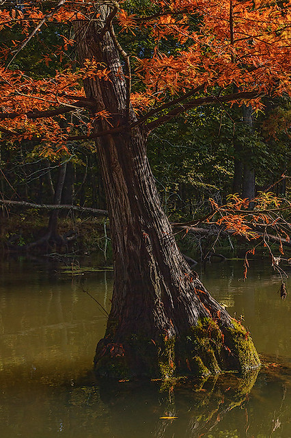
A common tree in these swamps is the Bald cypress (Taxodium distichum). While a relative of the evergreens, this cypress loses its leaves in the winter. The leaves turn a dull reddish-orange color in the Fall, as seen in these photos.
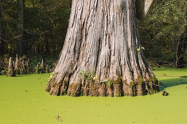
Mingo National Wildlife Refuge, in Puxico, Missouri, USA - cypress trunk and duckweed

These cypresses have a distinctive wide base, as well as ‘knees’ that stick up out of the water around the base, as seen here.  Some individual trees here are older than a thousand years. Cypress wood is valued because it does not rot when wet; in Europe, cypress and cedar (also found here) were valued for the construction of churches, as we find in the stave churches of Scandinavia. The First Jewish Temple of Solomon was constructed of these woods, imported from Lebanon.

Architecturally speaking, this is a much-neglected wood. And as it happens, cypress swamps are the most productive of all forestlands. As land can be inexpensive here, it would seem to be reasonably easy to reestablish larger cypress forests.

Tupelo trees, which also grow here in the water, have smoother, somewhat rounded bases.
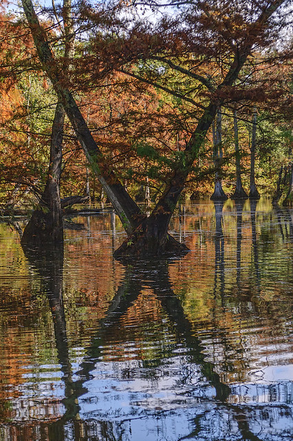
Mingo National Wildlife Refuge, in Puxico, Missouri, USA - trees and reflections, big X

These photos are best displayed on a dark background; click the photo to be taken to Flickr, where you can get a better view of them.

This is about the northernmost range of cypress, which is found throughout the Southeastern US. While it will grow farther north (many are planted in Forest Park, in Saint Louis), the tree does not reproduce well if it gets too cold.
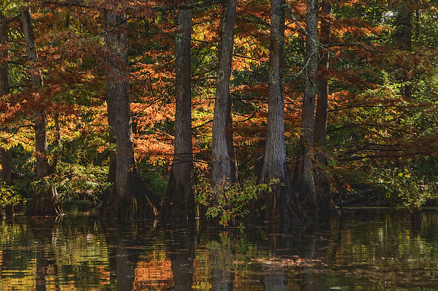
Mingo National Wildlife Refuge, in Puxico, Missouri, USA - line of trees

Like the Nile delta in Egypt, the Mississippi River delta is vast, and relatively unknown to most Americans. Stretching for about 600 miles from southern Missouri, through Arkansas, Kentucky, Tennessee, and Mississippi, it ends in the swamplands of Louisiana at the Gulf of Mexico. While this region is heavily modified by humans, frequent flooding shows nature’s dominance.

The Mississippi River, which is placid and clear in its northernmost stretches, becomes deep, narrow, muddy, and swift, starting just north of Saint Louis at the river’s confluence with the Missouri River: this is also a dangerous stretch of river, where perhaps on average one steamboat wreck per mile can be uncovered, and many sunken modern barges can be see here in low water.

But after the confluence of the Ohio River — which forms the southern border of Illinois — the Mississippi becomes sluggish, laden with silt, and meandering, splitting off into innumerable islands, and bordered by vast swamps, even to this day. A major flood could cut off one part of a state and attach it to another, as we find in many places hereabouts, including one large part of Kentucky, located across the river from New Madrid, which is not connected to the rest of the state.

At about this point, Fr. Jacques Marquette, S.J., who explored this area for the King of France and the Church, in the year 1673, wrote:
“Here we Began to see Canes, or large reeds, which grow on the bank of the river; their color is a very pleasing green; all the nodes are marked by a Crown of Long, narrow, and pointed leaves. They are very high, and grow so thickly that The wild cattle have some difficulty in forcing their way through them."
Mingo National Wildlife Refuge, in Puxico, Missouri, USA - bald cypress

Missouri is typically considered to be a midwestern state in culture, and central Missouri’s dialect is the standard for national journalism in the USA. But the southeastern part of the state shows its historic southern roots as accents and other artifacts of culture change quickly the farther south you travel.

It is in this region that developed the distinctive American style of music known as the Blues, which greatly influenced popular styles of music worldwide. Here we find both fertile soil and great poverty; mixed with Calvinist religion, we then have a culture and its music which is haunted by the Devil, in every impenetrable swamp and at every crossroad. Singing the Blues, they say, gives you the blues.
Mingo National Wildlife Refuge, in Puxico, Missouri, USA - canoers -2

But this was a pleasant and beautiful day, helped by an expert guide and pleasant company.
Saturday, May 04, 2013

Spring Flowers

DESPITE THE LATE winter weather, spring flowers in the Saint Louis area are splendid this year. Here are some photos from the month of April. As I am working on my next book, with a deadline of June 1st, I might not be posting much this May.
These are at Shaw’s Garden:

Missouri Botanical Garden (Shaw's Garden), in Saint Louis, Missouri, USA - hyacinth

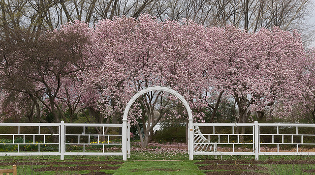
Missouri Botanical Garden (Shaw's Garden), in Saint Louis, Missouri, USA - rose garden gate

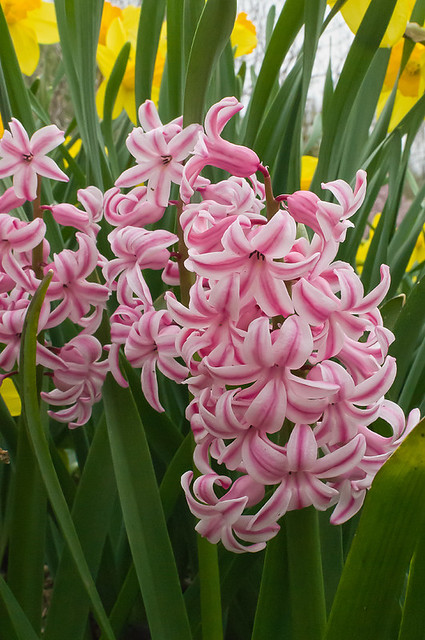
Missouri Botanical Garden (Shaw's Garden), in Saint Louis, Missouri, USA - pink hyacinth

Missouri Botanical Garden (Shaw's Garden), in Saint Louis, Missouri, USA - daffodils

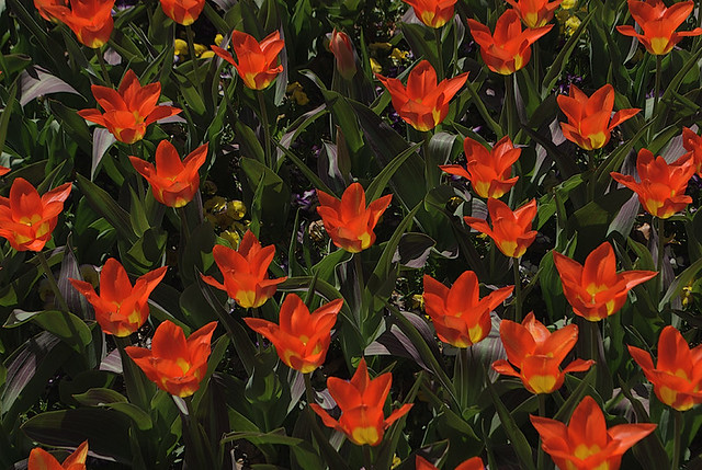
Missouri Botanical Garden (Shaw's Garden), in Saint Louis, Missouri, USA - orange and yellow tulips

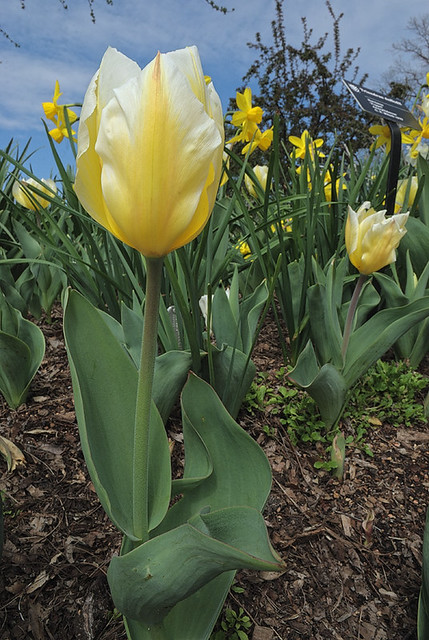
Missouri Botanical Garden (Shaw's Garden), in Saint Louis, Missouri, USA - yellow tulips

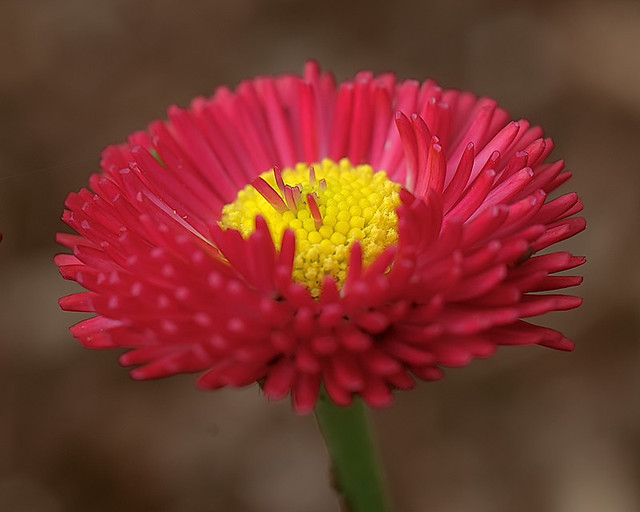
Missouri Botanical Garden (Shaw's Garden), in Saint Louis, Missouri, USA - macro photo of red flowers with yellow centers

Missouri Botanical Garden (Shaw's Garden), in Saint Louis, Missouri, USA - macro photo of red flower with yellow center

Missouri Botanical Garden (Shaw's Garden), in Saint Louis, Missouri, USA - macro of white flower with pink and yellow

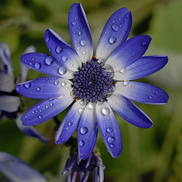
Missouri Botanical Garden (Shaw's Garden), in Saint Louis, Missouri, USA - blue flower with water drops

[You can purchase a framed print of this photo here.]

This is at Tower Grove Park:

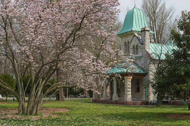
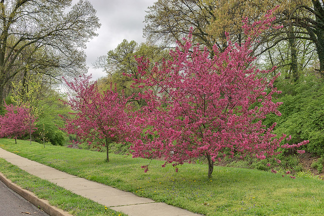
Tower Grove Park, in Saint Louis, Missouri, USA - trees in bloom

[A print is available here.]

These tulips were found in downtown Clayton:

Red and yellow tulips

Red and yellow tulips 2

Red and white tulips

Pink tulips

Red tulip and blurry background

[You can purchase a framed 5x7 print of this photo by clicking here. A wider variety of print sizes are also available, with a slightly different crop here.]

This is at the Shaw Nature Reserve, in Gray Summit, Missouri:

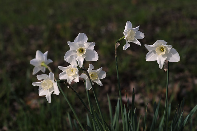
Shaw Nature Reserve, in Gray Summit, Missouri, USA - white daffodils in prairie

These were taken in the suburban Saint Louis County town of Webster Groves:

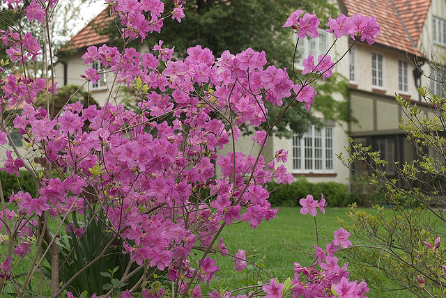
Spring flowers in Webster Groves, Missouri, USA - azaleas

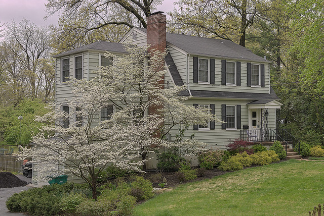
Spring flowers in Webster Groves, Missouri, USA - dogwood next to greenish gray home

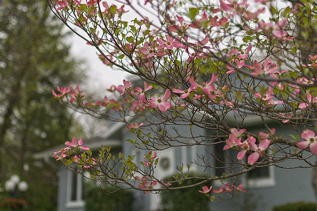
Spring flowers in Webster Groves, Missouri, USA - pink dogwood

Spring flowers in Webster Groves, Missouri, USA - redbuds next to railroad tracks

I am willing to make prints of any of my photos; please contact me if you would like me to add a photo to my print website. Your support is much appreciated and helps me bring more photos here on Rome of the West.

Monday, January 14, 2013

A Night Hike to the Confluence

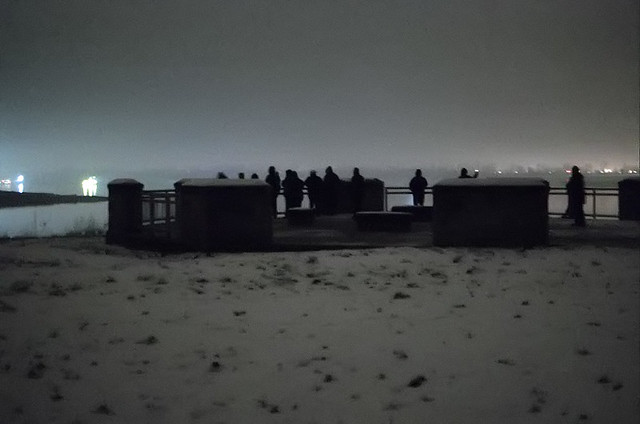
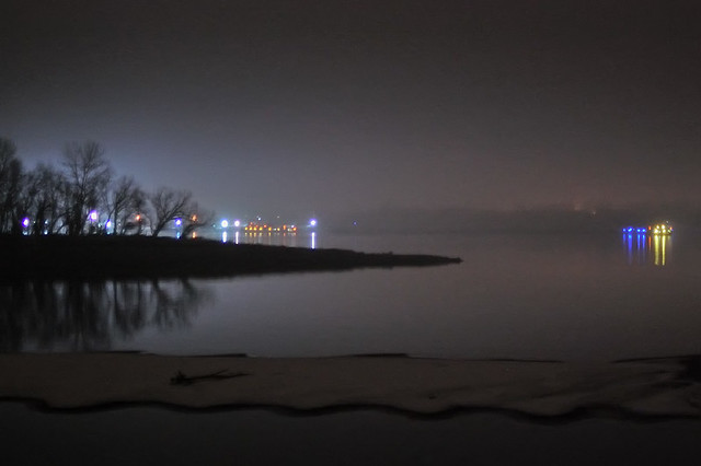
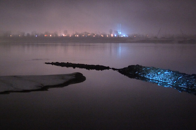
ON NEW YEAR'S EVE, I participated in a special night hike at the Columbia Bottom Conservation Area, managed by the Missouri Department of Conservation. Our destination was the confluence of the Missouri and Mississippi Rivers.

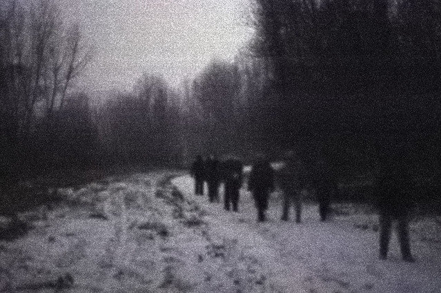
Columbia Bottom Conservation Area, in Saint Louis County, Missouri, USA - hikers in forest at night in the snow and fog 1

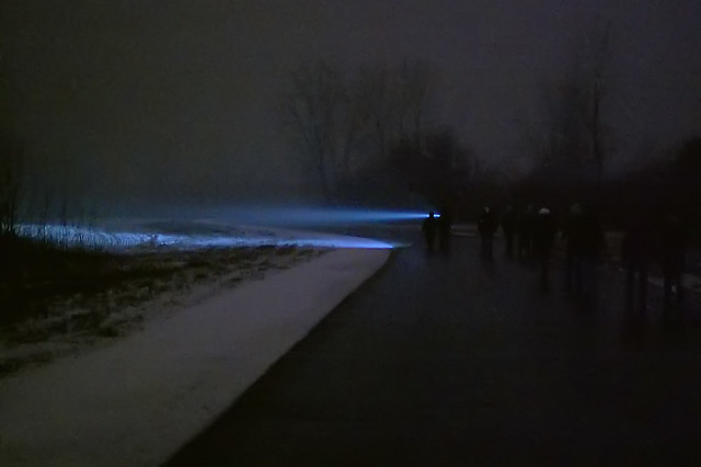
It was a dark, moonless night, but overcast skies reflected distant artificial lighting, making photography possible. But I could not use a tripod, since I had to keep up with the other hikers, and so these images are severely underexposed and rough.

From the hum of the Diesel-powered tugboats on the nearby rivers, to the dull whine of jets coming in for landing at Lambert Field, we knew that we were close to civilization. But adjacent to more than 4000 acres of forest and fields, and we were also undoubtedly in wilderness, as the howling packs of coyotes did remind us.

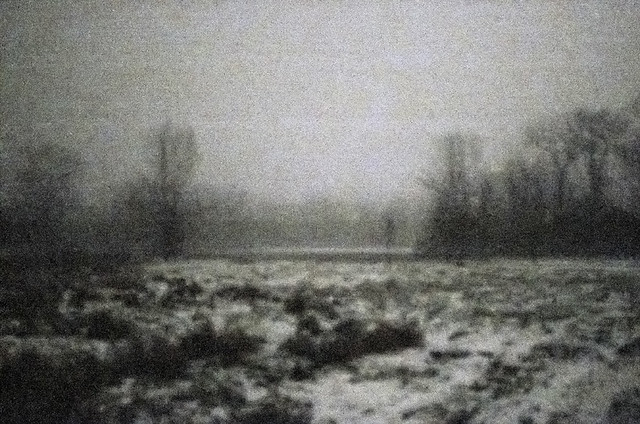
Columbia Bottom Conservation Area, in Saint Louis County, Missouri, USA -snowy field at night

An impressionistic view of bare trees in the fog and fields covered with snow. 

Broad daylight is about 2 million times brighter than what we see here. All the camera can capture with a reasonably short exposure time is not that much unlike what is seen by the eye: vague detail, uncertain color. Were this not flat bottomland with paved trails, traveling like this in the dark would likely be dangerous, for footing is always uncertain.

 In the natural order of things, hiking at night can lead to a sense of humility when a person recognizes their limitations, and it can also lead to the virtue of courage, as a person pushes himself onward despite not being able to see the way clearly, despite the dangers found in the darkness. Admittedly, this night was not particularly frightful at all for most of us, but perhaps it is good training.

In the spiritual order, it seems that all major religions and philosophies — including Christianity — recognize that light is a natural symbol of truth, understanding, purity, and ultimate reality. Christ describes himself and his disciples as the light of the world. And so, darkness is a symbol of ignorance, sin, and death. We find this in the 12th century Aberdeen Bestiary, where it describes the symbolism of the owl:  “In a mystic sense, the night-owl signifies Christ. Christ loves the darkness of night because he does not want sinners — who are represented by darkness — to die but to be converted and live.”

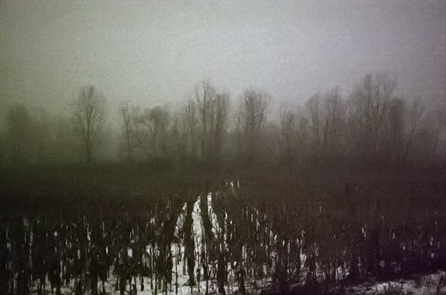
Columbia Bottom Conservation Area, in Saint Louis County, Missouri, USA -snowy field at night 2

The state leases the land to farmers; the farmers, in exchange, leave behind a tenth of the crop for the feeding of wildlife. The land here is exceptionally fertile, but flooding is always a frequent risk. The idea of leaving food for wildlife is now common and unremarkable, but the older Biblical command to allow gleaning by humans (which was also the law in England until 1788) is now unthinkable.

Some of this land was once owned by Jacques Marcelin Ceran de Hault de Lassus de St. Vrain (1770-1818), a former French naval commander, who fled the Revolution for the relative safety of the Spanish colonies here in North America. He and his family settled in the Spanish Lake area, located on the uplands overlooking these river valleys, and he served in the king's navy by patrolling the rivers. 

Columbia Bottom Conservation Area, in Saint Louis County, Missouri, USA - hikers at the confluence

Hikers arrive at the destination, a monument to the Lewis and Clark Corps of Discovery, which includes interpretive descriptions of these great rivers.

Columbia Bottom Conservation Area, in Saint Louis County, Missouri, USA - view of the confluence at night

Water levels are extremely low, and the normally swift current of the Missouri, seen in the foreground in front of the point of land, appears placid. The Mississippi River, seen behind the point, continues downstream to the right.

The first known European explorer of this area, Jacques Marquette, S.J., described this confluence of the rivers in his journals:
“While conversing about these monsters, sailing quietly in clear and calm Water, we heard the noise of a rapid, into which we were about to run. I have seen nothing more dreadful. An accumulation of large and entire trees, branches, and floating islands, was issuing from The mouth of The river pekistanouï, with such impetuosity that we could not without great danger risk passing through it. So great was the agitation that the water was very muddy, and could not become clear.”
The monsters he mentioned were paintings on the bluffs upstream from here. The city of Alton's well-known symbol, the Piasa Bird, was inspired by these native paintings.

These days, the U.S. Army Corps of Engineers keeps the stream largely free from floating logs — although these still dangers, and so having a steel-hulled boat on this river is greatly recommended, to avoid being foundered by submerged snags. Very little pleasure boating is done on this stretch of the Missouri. The river is still exceptionally muddy, which gave rise to the saying that the Missouri is “too thick to drink and too thin to plow.” The Mississippi upstream from the confluence remains placid and fairly clear to our present day, and is popular for sailing. Click here for an aerial map of the area.

Columbia Bottom Conservation Area, in Saint Louis County, Missouri, USA - view of Mississippi River near the confluence

The tall structure across the river in Illinois is the Lewis and Clark Confluence Tower.

Columbia Bottom Conservation Area, in Saint Louis County, Missouri, USA - hikers in forest at night in the snow and fog with flashlight beam

Guide searches for wild animals. We saw many footprints of various creatures in the snow.

Click here for more information on the conservation area.

Tuesday, October 30, 2012

Fall Color at Tower Grove Park

THE LORD GIVES, and the Lord takes away, says Job, in one of the more heartbreaking books of sacred scripture. The beauty of one day can lead to a devastating storm the next. God's answer to Job's lament is the sublimity of creation, which we ought to appreciate and fear, but never take for granted.

Here are some photos from Tower Grove Park and environs, taken a dozen days ago, when the beauty of this Autumn's colors were at their peak.

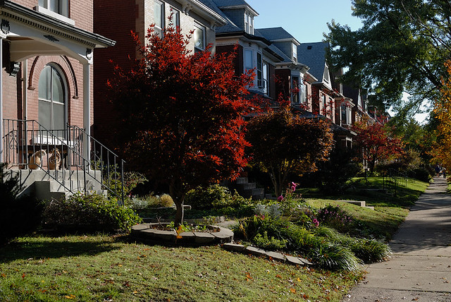
Fall colors with cats in the Tower Grove nieghborhood

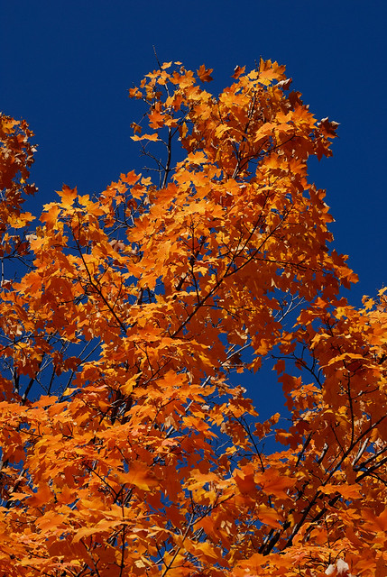
Orange leaves and dark blue sky, in the Tower Grove neighborhood of Saint Louis, Missouri

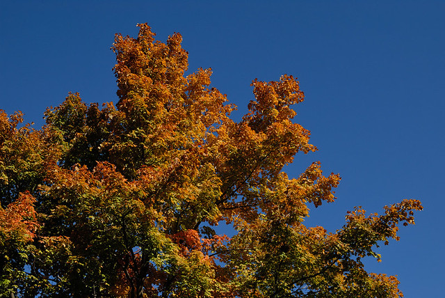
The sky was remarkably dark and blue; these colors you see here were not enhanced either in the camera nor in Photoshop.

Fall folliage with dark blue sky, at Tower Grove Park, in Saint Louis, Missouri, USA

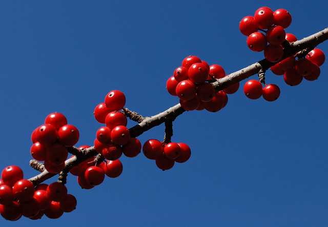
Red berries at Tower Grove Park, in Saint Louis, Missouri, USA

Pink water lily at Tower Grove Park, in Saint Louis, Missouri, USA

This warm season means that many flowers have been blooming out of season, like this water lily.

Pink water lily and pads at Tower Grove Park, in Saint Louis, Missouri, USA

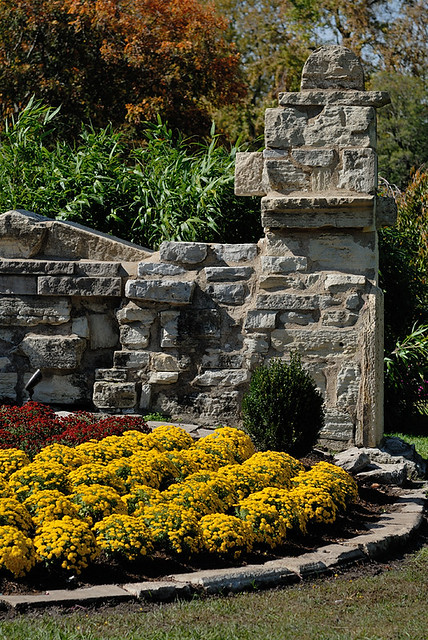
Yellow mums and ruins, at Tower Grove Park, in Saint Louis, Missouri, USA

Click here to read more about Tower Grove Park. More photos can be found here.