

The Mississippi River makes up the entire eastern border of the City of Saint Louis, Missouri, but, surprisingly, it can be rarely seen from an automobile. These photos are taken from the top of the Saint Louis Palisades, a high limestone bluff extending along a stretch of south Broadway Avenue, just north of the old settlement of Carondelet. This area once was the site of many prominent homes.
Perhaps one reason why the river is rarely seen is that it is considered a "working" river, and the City Fathers did not wish to provide views of what is basically a highway. The amount of barge traffic here is tremendous. A single barge train is equivalent in haulage to a thousand trucks.
The closest barge here is attempting to dock alongside of the river bank.

A tugboat arrives to assist the barges. Tugboats don't actually "tug"; instead they "push". In the far background you can see a blimp.
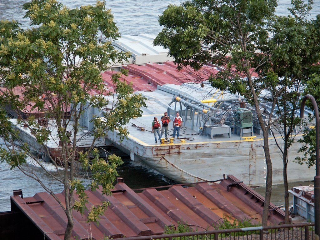
Deckhands talk to the people on the riverbank, waiting for the barge to get closer to its moorings. The pay in this trade is excellent, but the work days are long, difficult and dangerous.

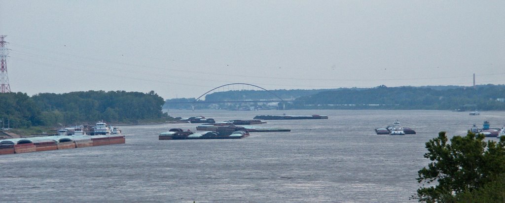
The tugboat pushing the barges to the shore.
The river from Saint Louis down to the Ohio River is swift and narrow, and has the reputation of being extremely dangerous. Only very large pleasure boats tend to risk travel on this stretch of river, which is mainly given over to barge traffic.
The Mississippi River is dammed just north of Saint Louis; the river there is wide, deep, and slow, and is excellent for sailing and other pleasure boating; there are no marinas in the City of Saint Louis; you have to travel north to Alton, Illinois for these.
The river is unobstructed southbound of Saint Louis, leading directly past Memphis, Tennessee, and New Orleans, Louisiana, and out into the Gulf of Mexico.
In the background is the Jefferson Barracks Bridge.
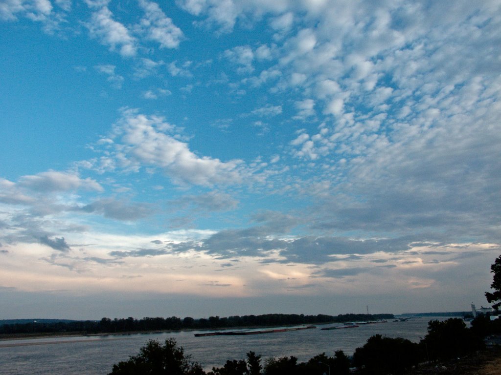
Sunset over the river.
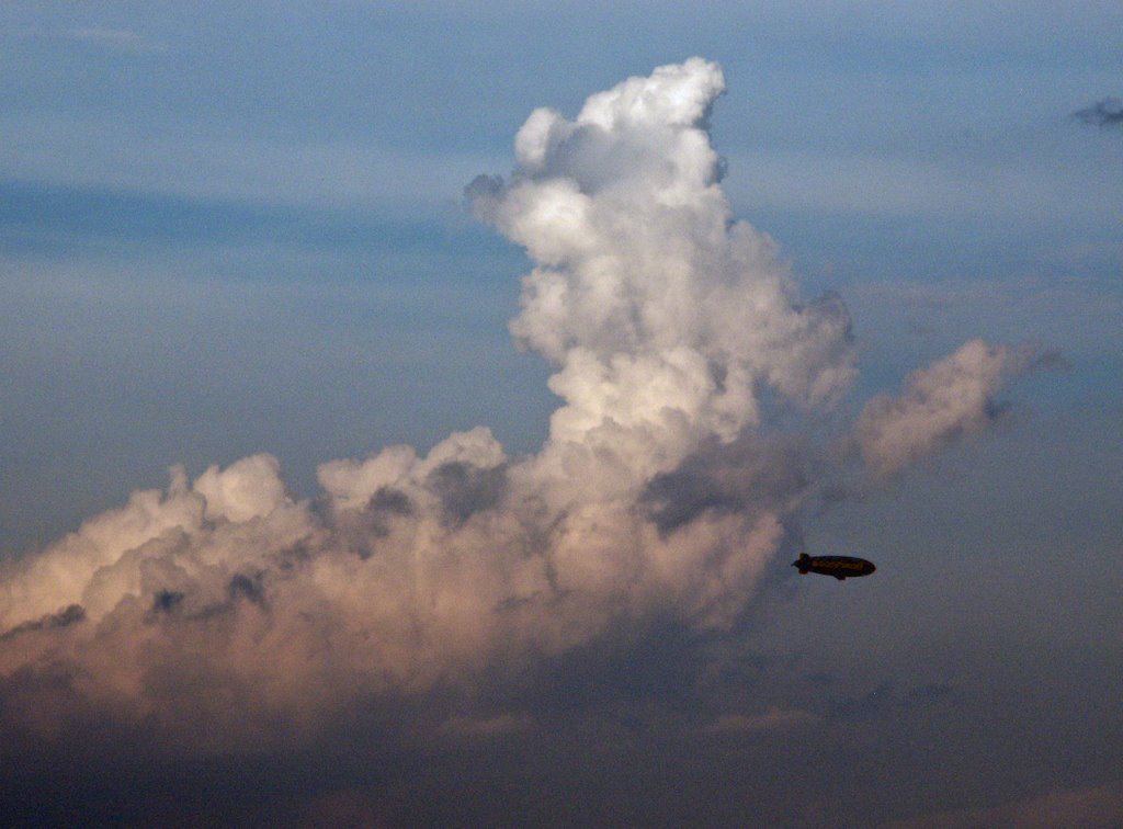
A closer view of the blimp.

No comments:
Post a Comment